Can I Fly My Drone in West Berkshire?
UK CAA Airspace Restrictions, Active NOTAMs, Council Byelaws & Flight Spots
Ground take-off and landing (TOAL) in and bordering West Berkshire is overseen by 9 local authority councils (West Berkshire, Basingstoke and Deane, Hart, Reading, and others). Currently, 2 of these authorities maintain explicit park byelaws or Public Spaces Protection Orders (PSPOs) restricting drone launches from public land without prior council authorization.
Our live airspace telemetry identifies 6 active aviation zones (including EGR104 BURGHFIELD, EGR101 ALDERMASTON, EGR1U113 NSA RAF WELFORD) and 3 active or scheduled NOTAM notices across West Berkshire. All drone operators must maintain unaided Visual Line of Sight (VLOS), give way to low-flying crewed aircraft, and check live NOTAM freshness prior to each flight.
West Berkshire encompasses 67 protected Sites of Special Scientific Interest (SSSI) including Decoy Pit, Pools & Woods SSSI, Winterbourne Chalk Pit SSSI, Enborne Copse SSSI, alongside land managed by National Trust, historic_england, Forestry England. While CAA airspace law does not automatically prohibit overflight of SSSIs, disturbing wildlife or taking off from nature reserve grounds without Natural England or landowner consent is strictly prohibited under the Wildlife and Countryside Act 1981.
Current Conditions & NOTAMs
West Berkshire Local Councils & TOAL Rules
Councils may have specific byelaws restricting drone use in parks, beaches, and public spaces. Use the QuickSpotCheck app to view exact local permissions before flying.
Check Out The QuickSpotCheck Blog
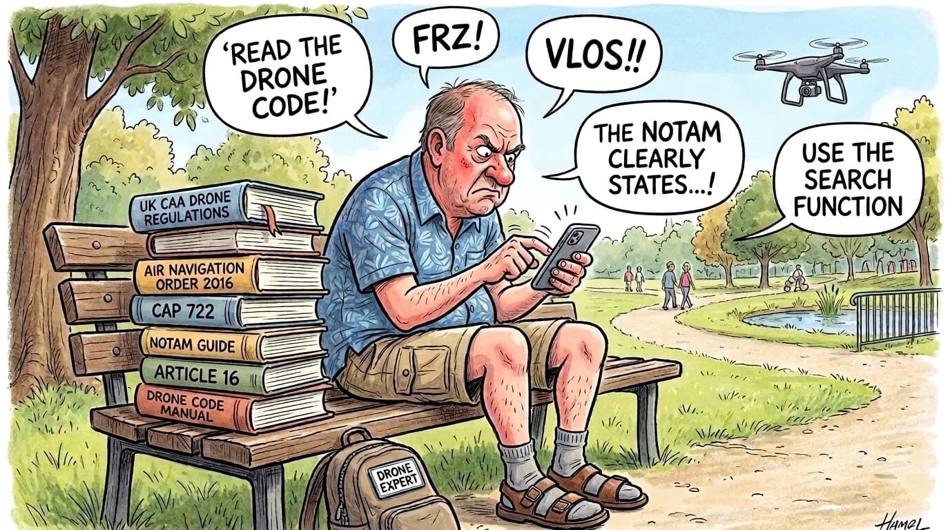
Where Can I Fly My Drone in the UK? (Without the Toxic Facebook Pages)
A beginner's guide to navigating UK drone rules, avoiding the drone police, and finding safe places to fly without the acronyms.
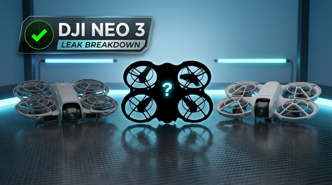
DJI Neo 3: The Leak Breakdown, Spec Rumours, and Community Pulse
DJI Neo 3 leak breakdown: 1/1.1-inch square sensor, new DJI RC Mini screen remote, Neo 1 vs Neo 2 vs Neo 3 specs, creator tests, and 2026 UK CAA rules.
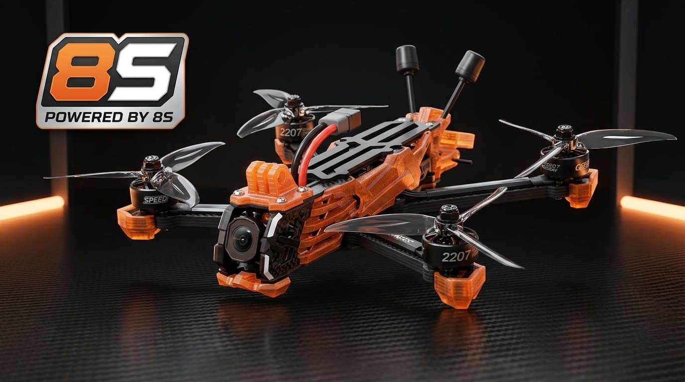
Vapor D5 8S: Initial Thoughts
An official 8S version of the fan favourite GEPRC Vapor D5 has dropped. We look at the breakdown from our favourite no-nonsense reviewer Squadding Quads, alongside takes from Drone Camps RC, Captain Drone, and Rimzler.
Frequently Asked Questions: Flying Drones in West Berkshire
Can I fly a drone in West Berkshire?
Yes, you can fly a drone in West Berkshire under UK CAA Open Category regulations (including sub-250g A1 and A2 CofC flights), provided you keep direct visual line of sight, stay below 400ft AGL, avoid active aerodrome Flight Restriction Zones (FRZs), and check live NOTAM alerts before taking off.
Do local councils in West Berkshire allow drone take-off and landing?
West Berkshire is covered or bordered by 9 local authority councils. Under UK law, councils cannot restrict national airspace, but 2 of these authorities maintain specific byelaws or park rules restricting launching or landing on council-owned parks, beaches, or open spaces without prior consent.
Can I fly a sub-250g drone over beaches or nature reserves in West Berkshire?
Sub-250g drones (like the DJI Mini series) have fewer airspace separation restrictions under CAA rules. However, overflying Sites of Special Scientific Interest (SSSIs) or wildlife reserves in West Berkshire carries legal risk under the Wildlife and Countryside Act 1981 if birds or wildlife are disturbed. Furthermore, launching from privately owned or trust-managed beaches (such as National Trust foreshore) requires permission from the landowner.
Digital Co-Pilot Brief
Our AI Digital Co-Pilot acts as a plain-English translator, converting raw NATS airspace coordinates, official CAA drone restrictions, local ground hazards, live weather, protected wildlife reserves (SSSIs), and council byelaws into a 30-second flight summary. No guesswork, just facts.
Ground Hazards
Our Karen agent scans your flight radius for schools, hospitals, and built-up areas (powered by OpenStreetMap contributors), giving you a heads-up so you can fly responsibly and minimise public friction.